Remote Sensing
Multispectral & hyperspectral imagery, SAR, thermal, LiDAR & drone photogrammetry, from lab spectroscopy to satellite.
Geospatial Data Scientist · Carbon MRV · PhD
Remote sensing, machine learning, and cloud-based geospatial analysis for mining, environment, phytomining, and carbon MRV, from raw imagery to production WebGIS platforms.
I'm Imam Purwadi. My formal training isn't in data science, it's in the ground: a bachelor's in mining engineering from the University of Sriwijaya, a master's in geological remote sensing from ITC, University of Twente, and a PhD in mined-land rehabilitation from the Sustainable Minerals Institute, University of Queensland.
Along the way I learned to code, and I now package all of that domain knowledge as a geospatial data scientist. Mining engineering tells me what matters on a site, remote sensing tells me how to measure it, and rehabilitation science tells me what a good outcome looks like. Data science is simply how I deliver it.
In practice I specialise in extracting meaningful information from imagery, across the spectrum from X-ray and visible to shortwave/thermal infrared and SAR, from laboratory to space, multispectral to hyperspectral. My work sits where remote sensing meets machine learning and the cloud: building analytical pipelines, WebGIS platforms, and production-grade applications that help mining, environmental, and phytomining teams make better decisions on the ground, and to support fellow researchers.
Today I'm a Lecturer at the University of Sriwijaya, an Honorary Fellow at the University of Queensland (remote), and a geospatial data scientist in Botanickel (remote). There my role goes beyond analysis: I coordinate small teams across several countries for ground-truthing and field validation, and my evidence helps leadership do their due diligence and make the decisions that guide how the work expands.
Right now I'm deepening this into carbon MRV and nature-based solutions: building audit-ready biomass-to-carbon accounting from field sampling, LiDAR canopy height, and soil organic carbon, for agroforestry and metal-farming projects. It's where my interest in metal farming and carbon meets, turning degraded land into something measurable and defensible.
Click any story to read the full write-up behind it.
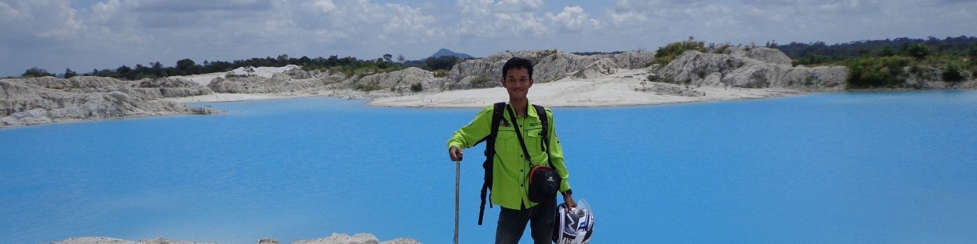 Ten Years on Bangka Island
The story behind the rare-earth research
🔬
PhD Thesis · Detecting Hyperaccumulator Plants
Interactive thesis presentation · XRF & spectroscopy
⛏️
Ten Years of Land Opened
124 coal permits in South Sumatra, traced year by year
🗺️
Indonesia NDVI Web GIS
Live interactive vegetation map · Cloud Run
🌿
Invasive Species Detection
Sentinel time series + TensorFlow, 90% accuracy
🌳
Biodiversity Credit Mapping
Drone point clouds & Detectron2 segmentation
📡
Tree Biomass from LiDAR
Airborne LiDAR segmentation & per-tree ML
Ten Years on Bangka Island
The story behind the rare-earth research
🔬
PhD Thesis · Detecting Hyperaccumulator Plants
Interactive thesis presentation · XRF & spectroscopy
⛏️
Ten Years of Land Opened
124 coal permits in South Sumatra, traced year by year
🗺️
Indonesia NDVI Web GIS
Live interactive vegetation map · Cloud Run
🌿
Invasive Species Detection
Sentinel time series + TensorFlow, 90% accuracy
🌳
Biodiversity Credit Mapping
Drone point clouds & Detectron2 segmentation
📡
Tree Biomass from LiDAR
Airborne LiDAR segmentation & per-tree ML
287 citations · h-index 11 · i10-index 12 across 20 publications and book chapters in remote sensing, X-ray fluorescence spectroscopy, and rare-earth / metal-hyperaccumulating plant detection. A selection below; the full list is on Google Scholar.
📖 There is a ten-year story behind these papers. Read it →
University of Sriwijaya · Indonesia
Teaching mine mapping, monitoring & sustainable mining; supervising research; applying remote sensing & ML to environmental monitoring and rehabilitation.
Botanickel · Malaysia & France
Geospatial and carbon MRV lead for global phytomining, working with field teams across Malaysia, France, Greece, Mexico & North Macedonia.
University of Queensland · Australia
Joint research with the Sustainable Minerals Institute on remote sensing & mine rehabilitation, strengthening Indonesia–Australia research networks.
Envirometrics Software Pty Ltd · Australia
Built a land-change-detection app from R/Shiny prototype to production, with a ReactJS front-end, Django back-end, and Earth Engine integration, deployed on Google Cloud. Led 2 senior engineers; delivered POCs/MVPs in invasive-species detection (90% accuracy), biodiversity credit, erosion modelling & tree biomass.
Purwa Bara Konsultan · Indonesia
Spatial analysis for mining clients: sampling design, runoff & fly-rock impact zones, least-cost hauling paths, and client proposals.
Multispectral & hyperspectral imagery, SAR, thermal, LiDAR & drone photogrammetry, from lab spectroscopy to satellite.
I start from a real problem, study how others have solved similar ones, then adapt and re-engineer their approaches to fit my data.
Biomass-to-carbon modelling, LiDAR canopy height, and soil organic carbon, brought together into audit-ready CO2e estimates with proper uncertainty for agroforestry and metal-farming projects.
GDAL, rasterio, geopandas, shapely, PostGIS, Google Earth Engine, QGIS, ArcGIS, ENVI, ERDAS.
Leaflet, OpenLayers, TiTiler, ReactJS front-ends, Django & R/Shiny back-ends, from research to production.
Google Cloud, Cloud Run, Earth Engine, Azure for large-scale, scalable environmental & mining analysis.
Python, R, JavaScript, IDL, plus automated reporting pipelines (LaTeX, Jinja2, LLMs).